


Ways that Remote Sensing and GIS can be used in property evaluation
Preview
1. Get approximate building size
2. Determine if property is within a floodplain
3. Create a report of soil types for farmland
4. Access to titled land area
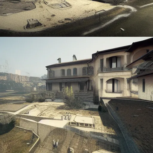
5. Discover historic development
there may be a valuable well hidden in the weeds.
6. Discover potential pond sites
7. Determine slopes of the land
8. Determine current land use
9. Gather crop history
10. Measure distance to amenities
- nearest city,
- highway
- public land
- water
- park
- rec facility


No comments.